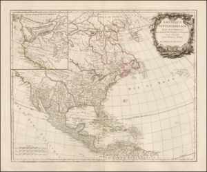
The Pacific Northwest was one of the last areas to be accurately mapped by European and American cartographers. At various times mapmakers thought that it was near a Asian region called Ania, that California was an Island, or that a great inland sea took up much of the American west. When Lewis and Clark ventured westward, they had a clearer idea of the coastline, yet they were still taken by surprise when they encountered the Rocky anc Cascade mountain ranges.
Visuals to accompany this live event are here.

Podcast: Play in new window | Download
Subscribe: RSS